Know What’s Developing.
Know What Comes Next.
AERIS connects satellite, radar, atmospheric and hydrological intelligence to detect evolving severe-weather events and understand their potential impact at the local level.
Weather data is everywhere.
Intelligence is not.
AERIS unifies fragmented satellite, radar, atmospheric, and hydrological data into real-time, actionable early warnings for high-stakes urban infrastructure.
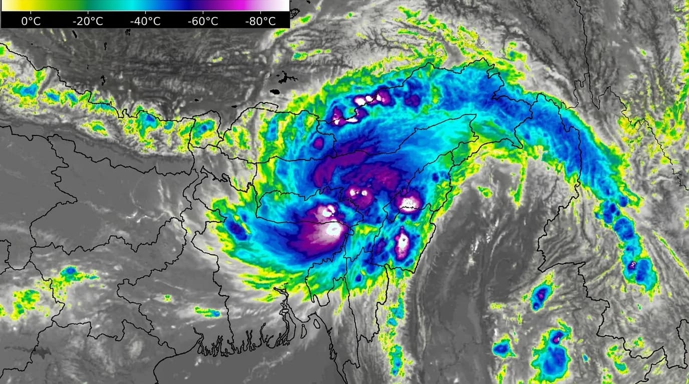
Identify developing severe weather
Evaluates rapid cloud-top cooling and lightning density to detect emerging convection hours before ground rain begins.
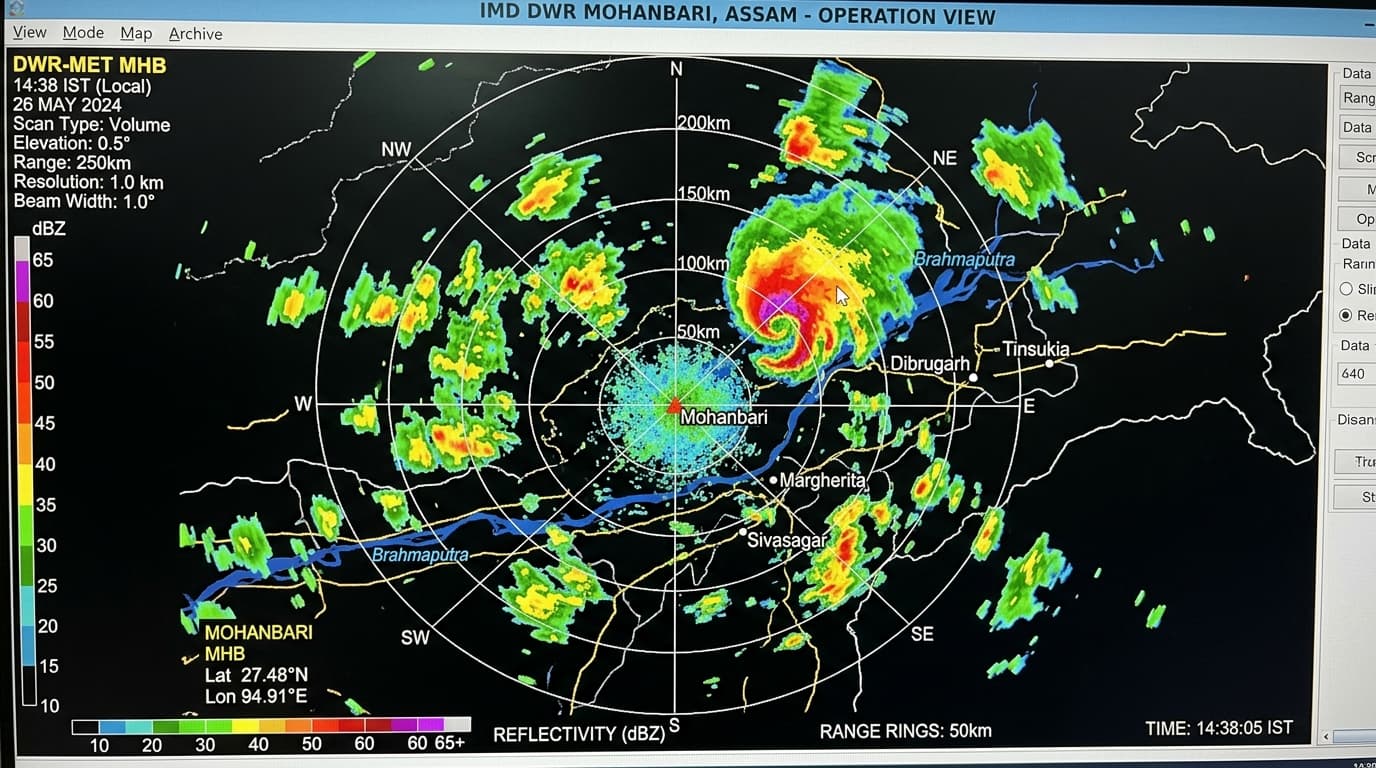
Connect signals into an evolving event
Synthesizes radar reflectivity, wind shear, and satellite soundings into a single coherent storm lifecycle track.
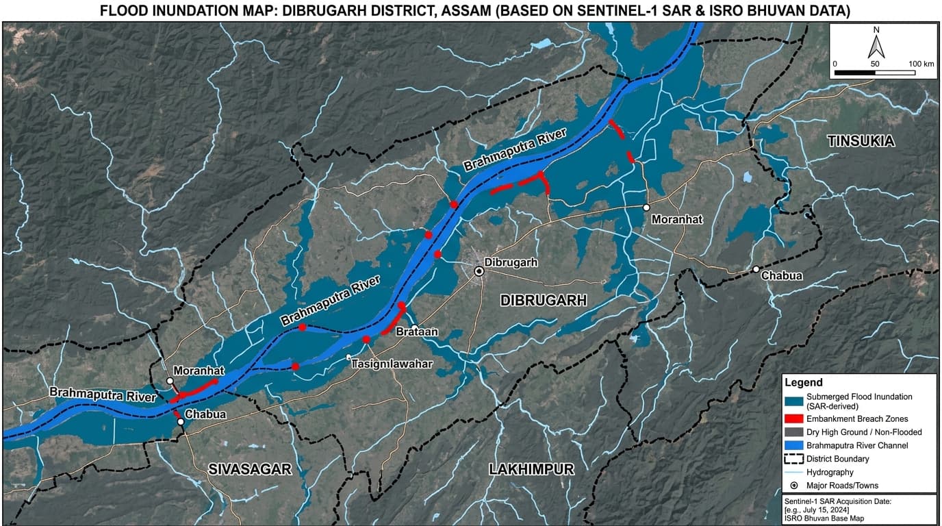
Translate weather into local impact
Couples rainfall forecasts with elevation contours, drainage bottlenecks, and soil moisture to pinpoint street flooding.
One event. One evolving picture.
AERIS follows severe weather from atmospheric signals to ground-level impact through an end-to-end intelligent pipeline.
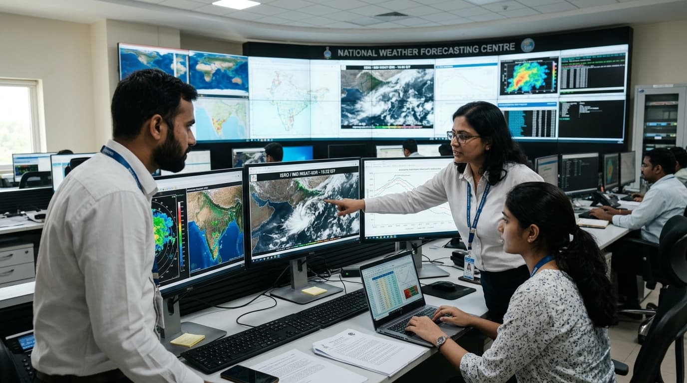
Continuous multi-source sensor ingestion.
Harmonizes geostationary spaceborne infrared soundings, Doppler radar pulses, and automated surface networks into a unified observational baseline before convective cells trigger rain.
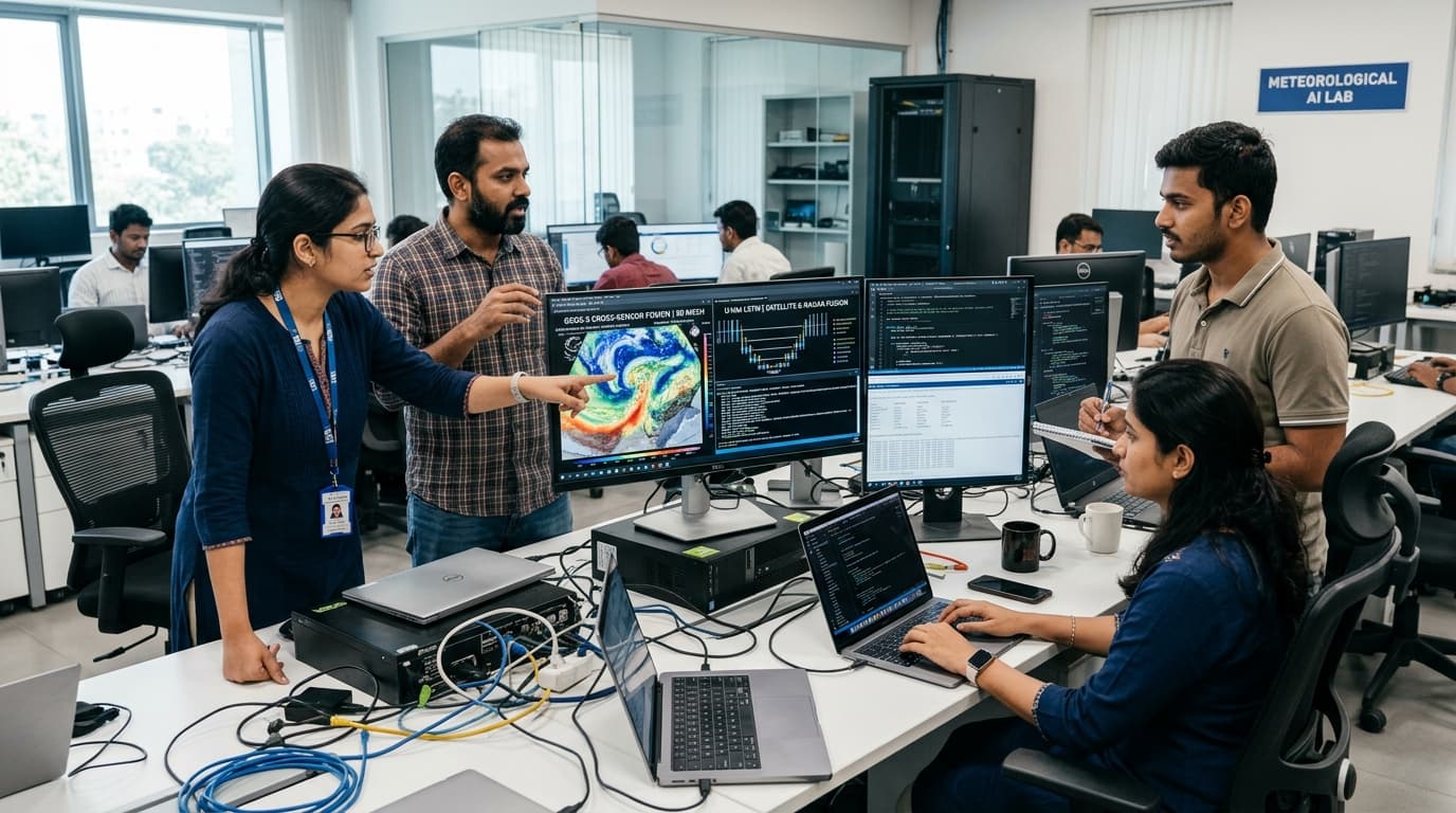
Harmonizing observations into one state.
Eliminates sensor fragmentation and spatial blind spots by fusing satellite, radar, and thermodynamics into a single coherent high-resolution atmospheric vector field.
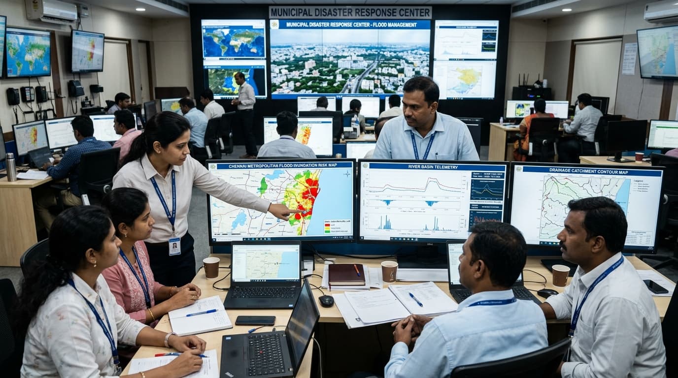
Translating precipitation into ground impact.
Couples high-resolution nowcast rainfall with terrain digital elevation models, soil saturation mechanics, and municipal drainage channels to compute real-time inundation depth.
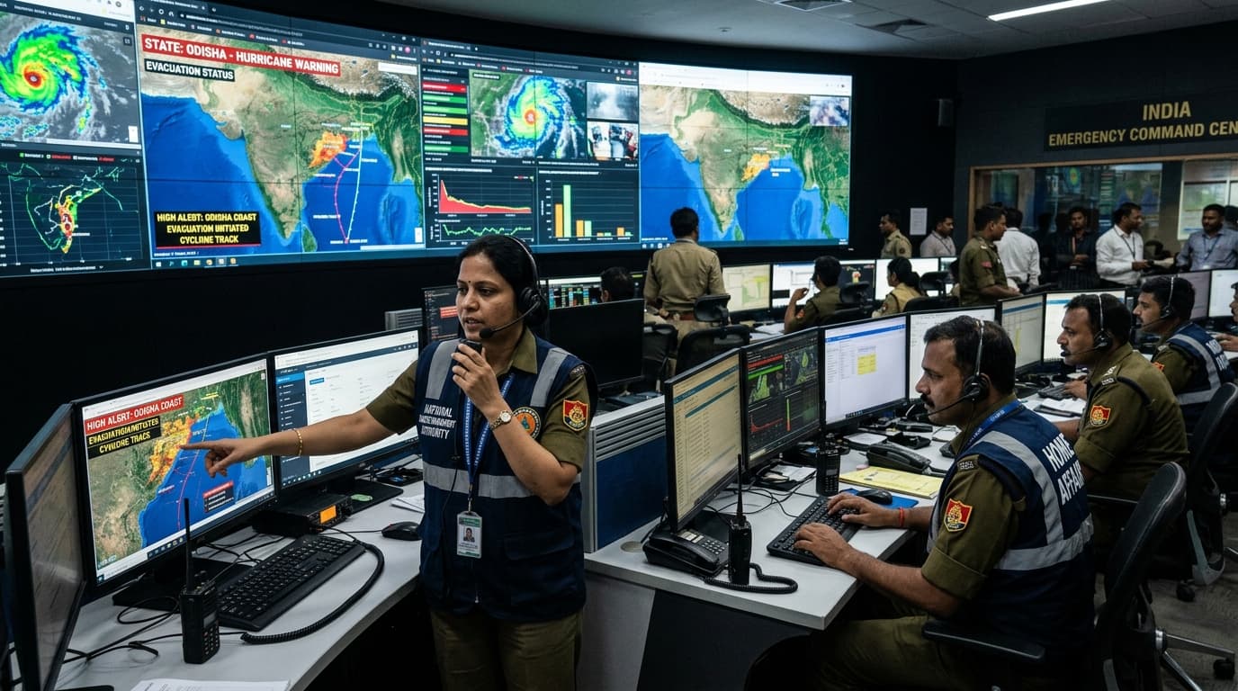
Actionable dispatch to decision makers.
Converts complex hydro-meteorological models into unambiguous, geofenced early warnings, giving municipal authorities and emergency responders hours of actionable lead time.
Built for decisions that depend on what happens next.
AERIS is a platform engineered for teams responsible for critical infrastructure, public safety, and operational continuity.
Government & Emergency Response
Monitor evolving severe-weather events, evaluate vulnerable drainage catchments, and dispatch automated CAP-v1.2 early warnings with multi-hour lead time.
Infrastructure & City Operations
Anticipate weather-driven disruption across arterial highway corridors, rail bottlenecks, airport runways, and power grids before localized waterlogging strikes.
Weather & Climate Intelligence
Turn fragmented spaceborne, Doppler radar, and hydrological gauge feeds into structured, event-level spatial intelligence for mission-critical operations.
Build a safer response to
severe weather.
AERIS connects environmental signals to real-world operational decisions—giving emergency commanders and infrastructure operators proactive lead time.